Execute renovation projects quicker with point cloud to BIM modeling services.
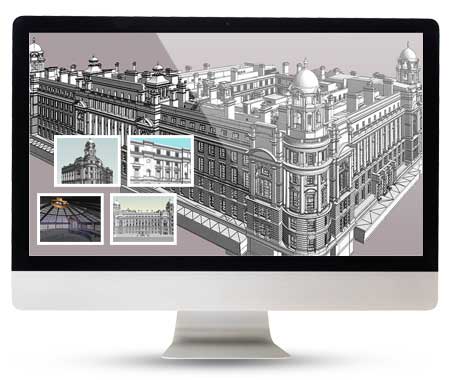
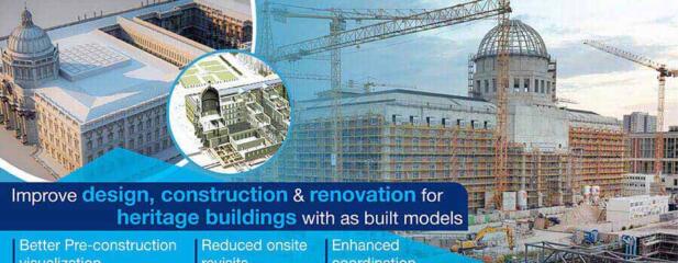
When complex or heritage buildings need to be renovated or remodeled, point cloud to BIM technology captures precise geometry to create an actual replication of the existing structure. We analyze millions of data points in 3D space and convert point cloud data to accurate Revit® As-Built 3D models with tolerance up to 5mm.
Our point cloud to BIM services experts create information-rich 3D Revit BIM models to assist building surveyors, laser scanning companies, architects, MEP contractors and engineers to gain detailed building data for various elements such as beams, walls, pipes, ducts, roofs, ceilings columns etc.
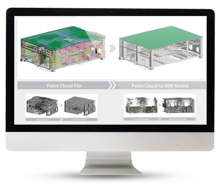
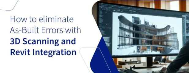
Convert point cloud data to Revit BIM models →Our end to end point cloud to BIM services (aka Scan to BIM) include point cloud conversion for architectural, structural and MEP disciplines. We understand your scan to BIM project needs and offer workflows to deliver design intelligence, improved material quantity consumption, labor costs, and true renovation timelines. With complete virtual digital visualization and collaboration, our BIM services experts help you save costs and time and enable you to make informed decisions for your scan to BIM projects.
Our Customers


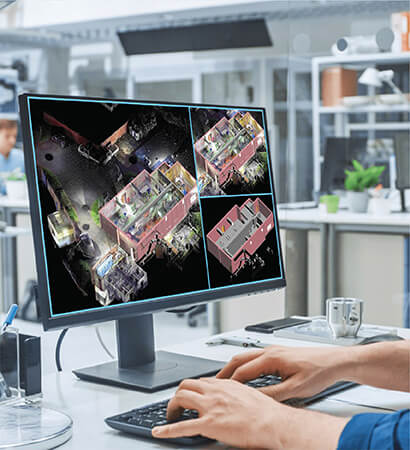
Point Cloud File Extraction
After completion of the 3D laser survey, scans are processed, registered, and collated in an X, Y, Z axes to form accurate and real objects in 3D at +-5mm.Deploying Software
Point clouds are imported into visualization software to make measurements, 360 views, etc. BIM or CAD software is used to create highly-detailed 2D drawings, sections, elevations, etc.Project Delivery and Assurance
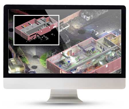
QC checked scan-to-BIM 3D models are delivered to clients for representing project reality. High-accuracy and 360 degree visualization increase project clarity.Fine-tuned renovation design and streamlined delivery based on precise 3D models.
Coordinated, clash-free, and QC-checked point cloud to 3D BIM models.
Validate constructability and improve planning, design, and construction as per As-built models.
Gain better insights into area geometry and space calculation with an information-packed 3D BIM model.
Quick turnaround capabilities through BIM-based automation and workflows.
Information-embedded building elements for greater model definition and depth.
Improve project transparency and project planning for architecture, structure, MEPF, and clash detection.
Reduce RFI count, and build a rock-solid platform to measure and price building components and equipment.


Enhance design options for your renovation projects with Scan to BIM models.